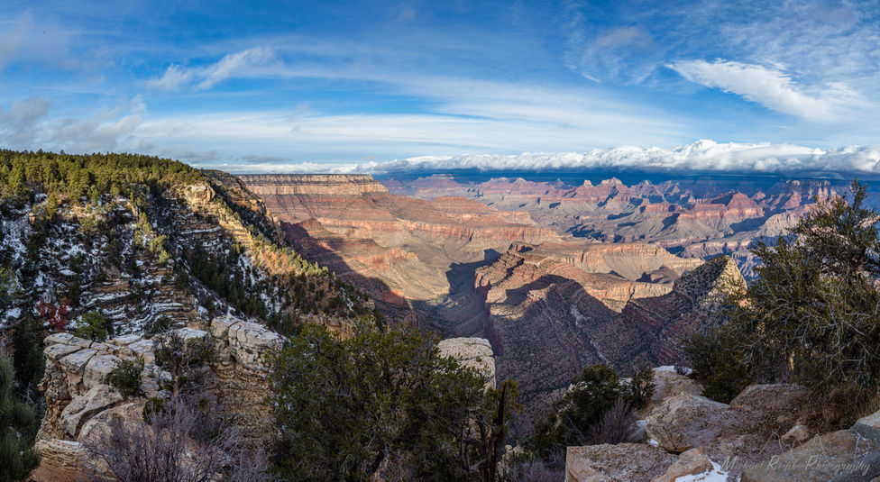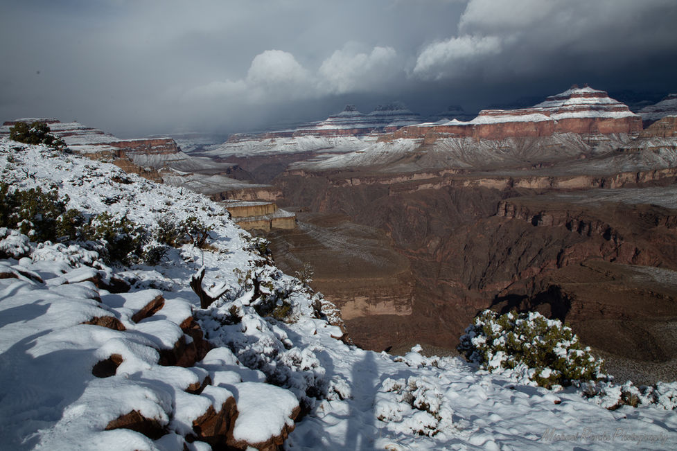
The Grand Canyon is famous for its exposed geology as the Colorado River cuts deep into the Colorado Plateau. The canyon is 277 miles long, up to 18 miles wide and over 6,000 feet deep. The canyon is the heart of many tribal territories and is certainly sacred.
Please click on images to see them full-size complete with titles and captions (some captions are still in development).
Eastern Grand Canyon is a newer extension of Grand Canyon National Park and is generally thought of as the geography known as Marble Canyon. The river in Marble Canyon cuts against the dip of the Kaibab Plateau and cuts in the younger sedimentary rocks down into the Red Wall Limestone. Above the rim, even younger Cretaceous aged Navajo Sandstone of the Vermillon Cliffs and Echo cliffs rim the country around Eastern Grand Canyon.
After the Little Colorado River joins the Colorado River, Marble Canyon transforms into the Grand Canyon proper and the river cuts through the Kaibab Uplift and begins incising into the precambrian rocks at the basement of the Grand Canyon. This stretch of canyon is where the core of visitors experience the rim and the most common trails to the river exists.
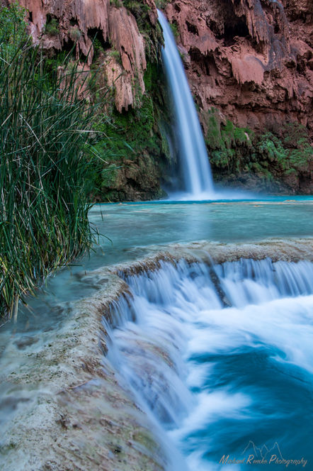
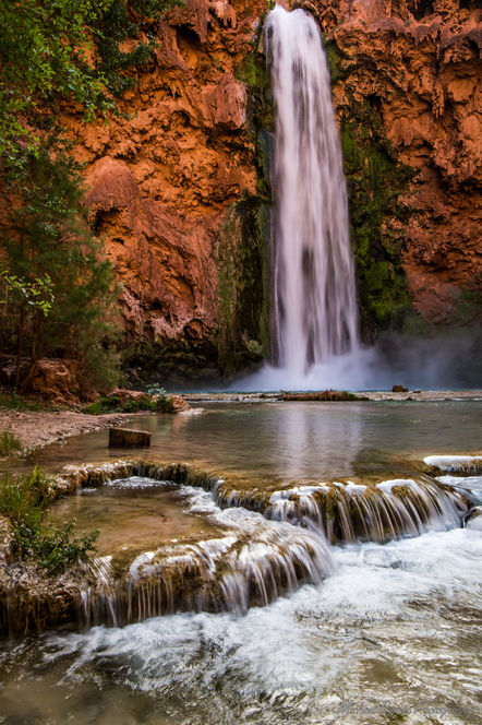
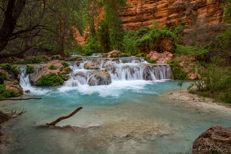
The area expanding out to the west of the Kaibab Plateau in the western portions of the Colorado River country are famed by the blue-green waters of Havasu Creek. This portion of the canyon has expensive Esplenade formation, leaving wide open views to Mount Trumbull and beyond.


